 Opinions on Niche's Baltimore Neighborhood ratings? Any neighborhoods you strongly disagree with the ratings on?
dano2990 t1_j7ddrpx wrote
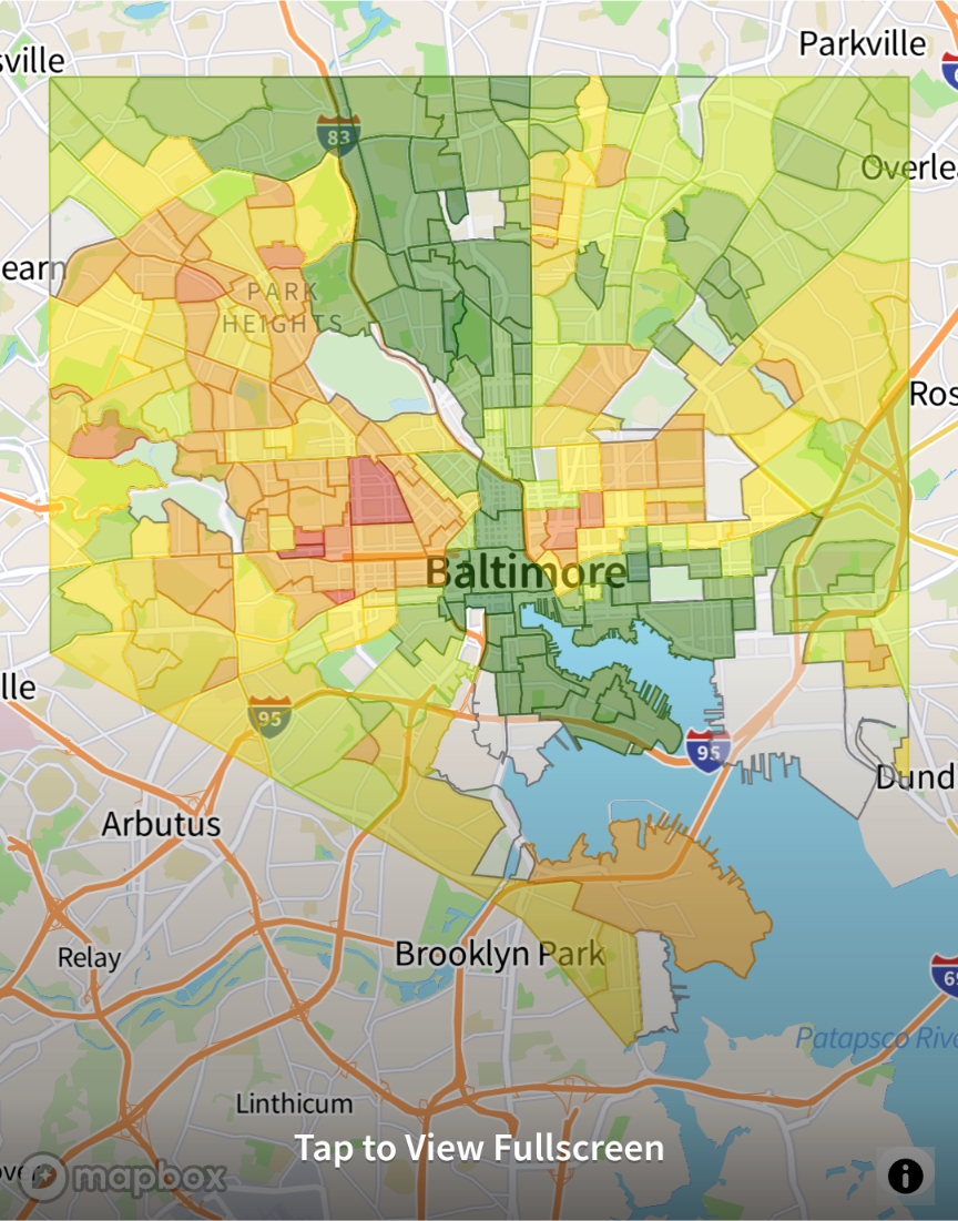
Weird that “Park Heights” is literally the only neighborhood within Baltimore that specifically called out. Is that a location OP looked at and it’s just still on the map?
AyyScare OP t1_j7de0cn wrote
I think that's just the default that the map shows at that zoom level... I linked the link in another comment if you wanted to see more details or see if you get the same result.
PVinesGIS t1_j7dgsyp wrote
The Park Heights label is likely just part of what is called a “basemap” layer, that the geospatial data is then displayed on top of.
Viewing a single comment thread. View all comments