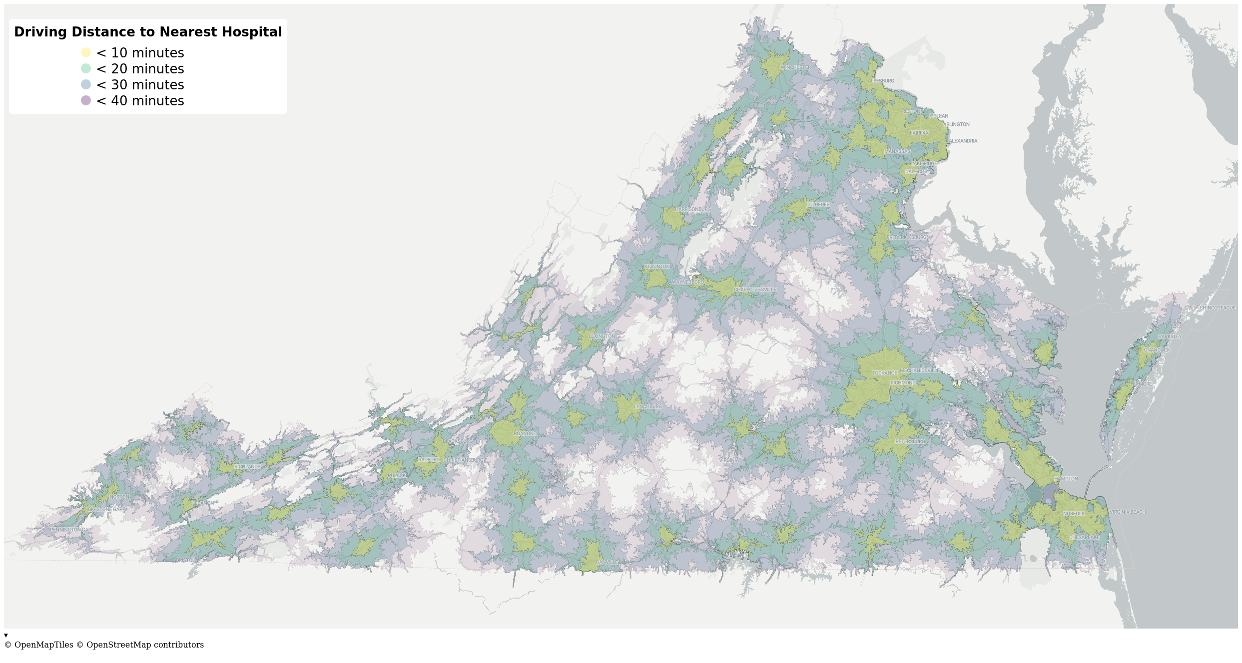
 [OC] Map of Hospital Accessibility by Car in Virginia
Submitted by wcedmisten t3_121w4f8 in dataisbeautiful
thekaleshake t1_jdp036a wrote
This is super cool! Whats the source data for this? Or how to you make the source data for a state?
wcedmisten OP t1_jdp1tpi wrote
The source data is OpenStreetMap! It's crowd-sourced mapping data for the whole earth, including roads and hospitals, which are the critical pieces for this graphic.
Also see my comment here for more info: https://www.reddit.com/r/dataisbeautiful/comments/121w4f8/comment/jdnngzy/
Viewing a single comment thread. View all comments