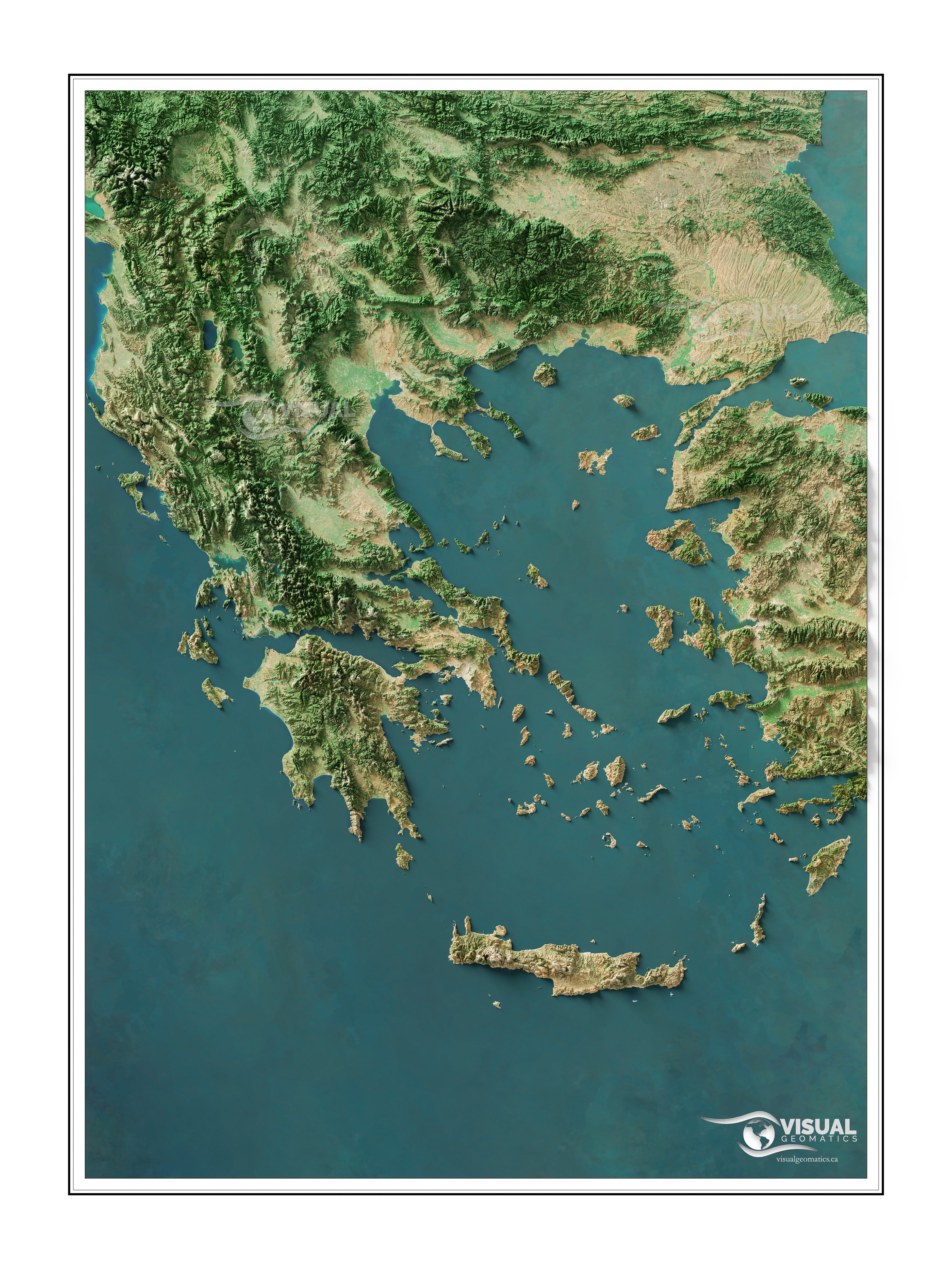
 A shaded relief map centred on Greece and the Aegean Sea rendered from 3d data and satellite imagery [OC]
goodstuffcomming t1_ira1m1f wrote
Could you please make Philippines? It would be amazing to see topography of this island nation, which has multiple interesting features such as volcanoes and big rifts.
visualgeomatics OP t1_irabjdh wrote
Sure thing
Adeus_Ayrton t1_iram67g wrote
Checked out your Instagram, and your work is amazing ! I'd be stoked if you made Turkey :-)
Viewing a single comment thread. View all comments